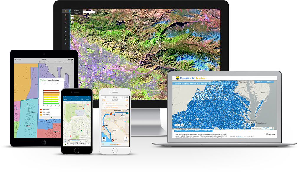
Gain greater insights using Esri - ArcGIS tools to visualize and analyze your data.

Your first step towards making better, smarter decisions in your organization. Just about every problem and situation has a location factor. Unlock the power of location intelligence with the best technology investments you can make.

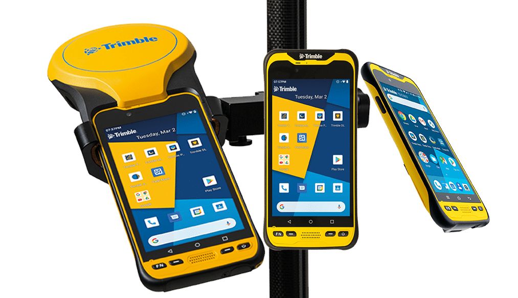
Get the right data collector to get the job done.

Trimble has a range of high performing, rugged field devices with a fully integrated GNSS handheld receiver built for GIS users who demand maximum productivity and positioning accuracy out on the job.

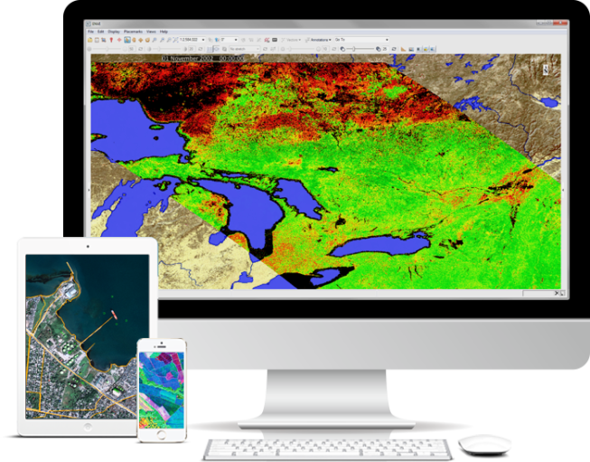
Process and Analyze all types of Imagery and Data with ENVI

Explore image analysis software developed by NV5 Geospatial and used by GIS professionals, remote sensing scientists, and image analysts to extract meaningful information from imagery to make better decisions.

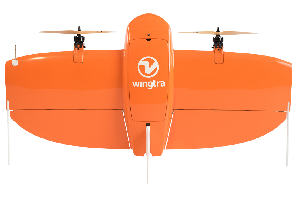
The high-precision drone for large surveys.

WingtraOne’s unique set of features empowers you to minimize your time flying and get more work done, be it another project in the field or analyzing your data at the office.

Our Global Alliances

Building Experience with Geospatial Industry Giants
NV5_Logos - Sambus

Our Business Partners

Supported by business partners and resellers in all our operational regions

Testimonials from Clients

Read real stories on GIS from our clients

Yusuph Amure

Eko Electricity Company of Nigeria

The excellent support we received from Sambus Geospatial ensured that we acquired the right GIS solution with analytical capabilities through the auditing of our existing GIS Infrastructure while maintaining comprehensive case documentation of our Asset and customer relationship management (CRM) system during implementation

Ayoola Afonja

Etact Systems

Personally appreciating Sambus Geospatial for a successful solution deployment. Etact acknowledges your responsive and accommodating services in the completion of our project. Your support services are remarkable and we are looking forward to have a more beneficial relationship with you as we recommend you to other clients.

Emmanuel Amoah

Route to Market Manager of Voltic Ghana

Voltic Ghana was able to visualize and monitor product flow which are distributed using the various channels critically mapped out using the locational intelligence system provided by Sambus Geospatial.

Rosemary Okla

GIS Specialist at Ghana Geological Survey Authority

The Ghana Geological Survey Authority (GGSA) was able to attain optimal efficiency in using GIS tools in our projects thanks to an excellent client support system from Sambus Geospatial

Seyi Abolarin

Senior Data Analyst at Palladium-Data.Fi , Nigeria

The Sambus Geospatial stand-by support staff has proven invaluable in ensuring the success of our projects by offering technical assistance when needed.

Biyi Fafunmi

Director of ICT Department of the National Bureau of Statistics (NBS) – Nigeria

Tracking and Reporting of data warehoused by NBS using GIS was very effective in my workflows. Kudos to Sambus Geospatial for their assistance in resolving challenges and advice.

Ernest Akyereko

Field Epidemiologist at Ghana Health Service

Sambus Geospatial has been phenomenal in providing us with a location intelligence software to effectively monitor and visualize the COVID-19 pandemic data we have.

Nana Adusei Poku

Head of GIS and Mapping Unit Ghana National Petroleum Corporation (GNPC)

Sambus Geospatial provided us with a GIS solution to effectively assess and propose new oil blocks for licensing in Ghana’s first oil & gas bid rounds. This solution was phenomenal in executing the project successfully.